We reviewed the weather and had a few good days to begin our travel south on the east side of Lake Michigan. We went under the Mackinac Bridge and entered the Straits of Mackinac. The Mackinac Bridge is a suspension bridge spanning the Straits of Mackinac to connect the Upper and Lower Peninsulas of the U.S. state of Michigan. Opened in 1957, the 26,372-foot-long bridge is the world’s 22nd-longest main span and the longest suspension bridge between anchorages in the Western Hemisphere.
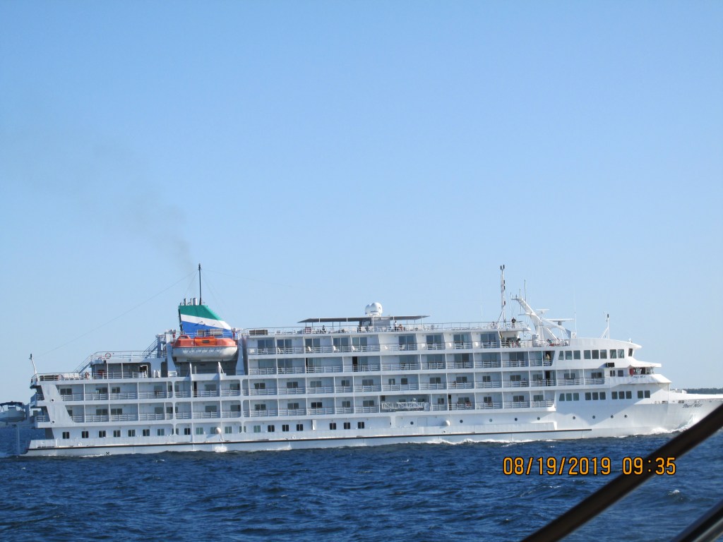
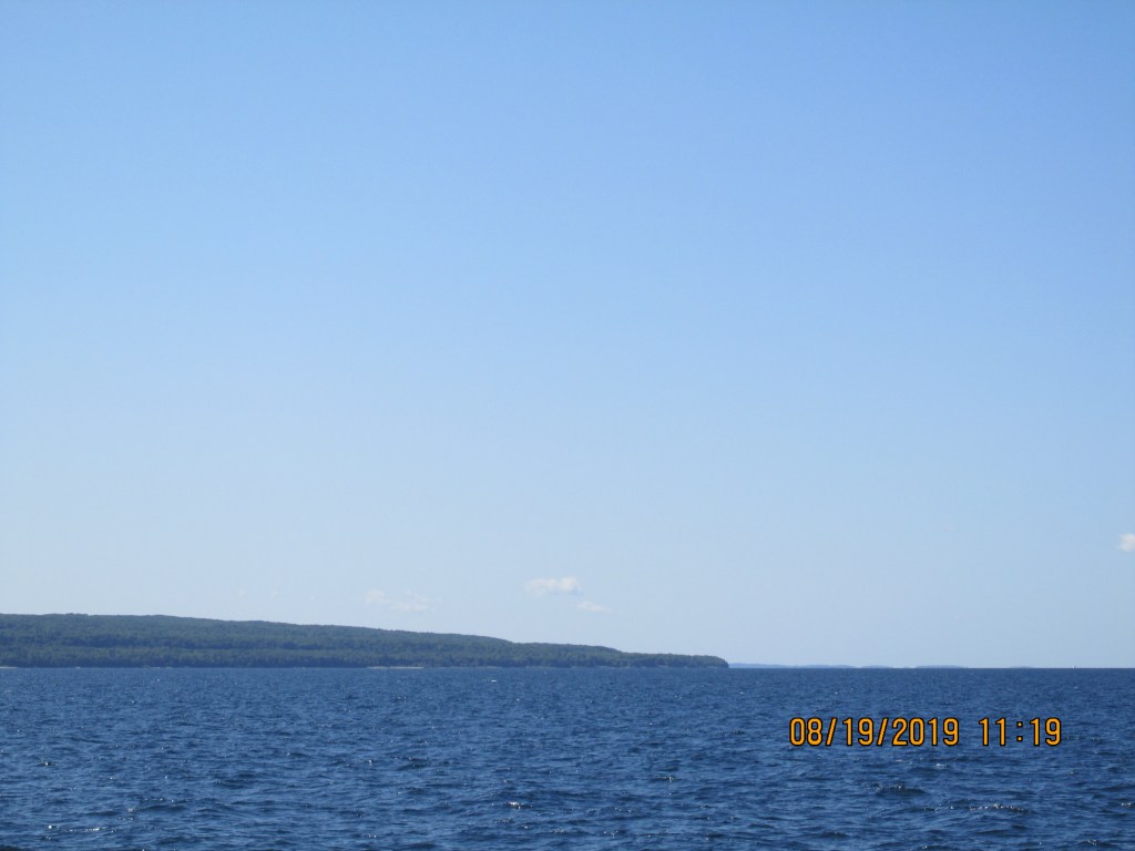
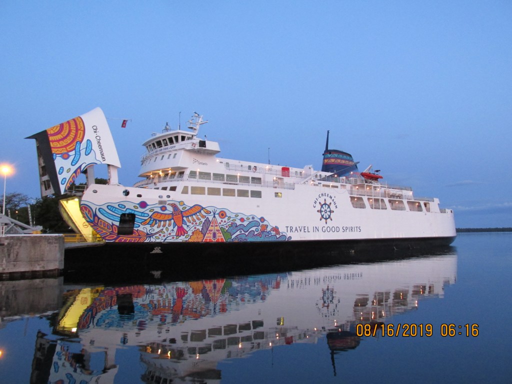
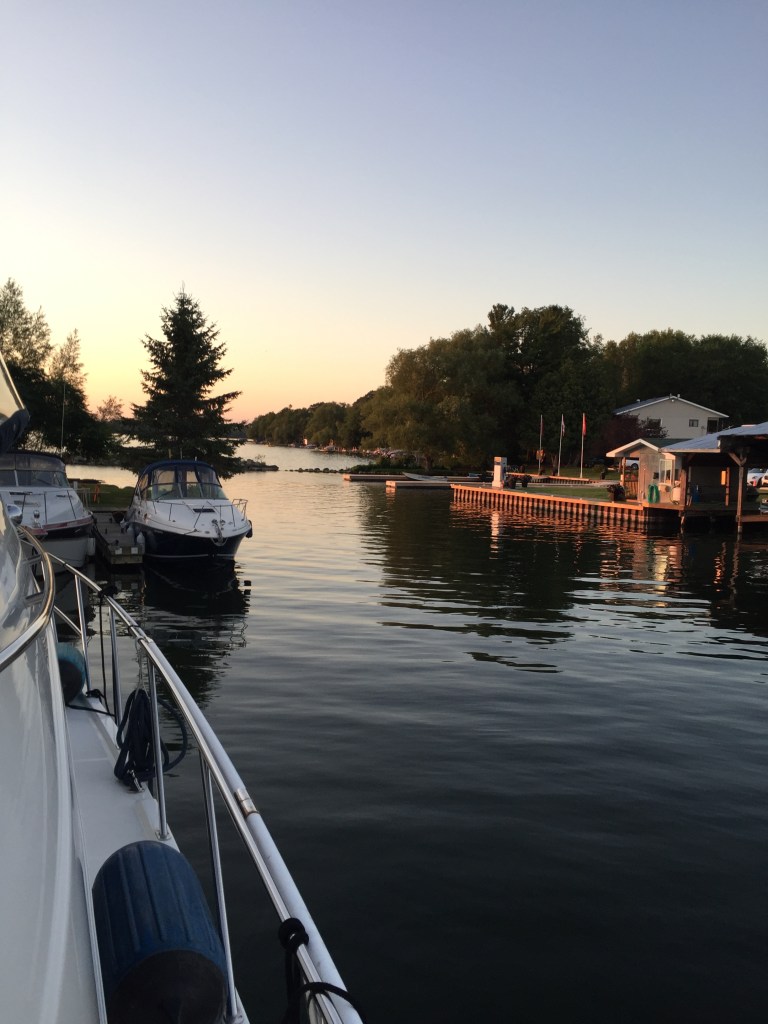
We made a 54 -mile run to Petoskey. The water was not too choppy. We passed a cruse ship on the way.
Cruise Ship
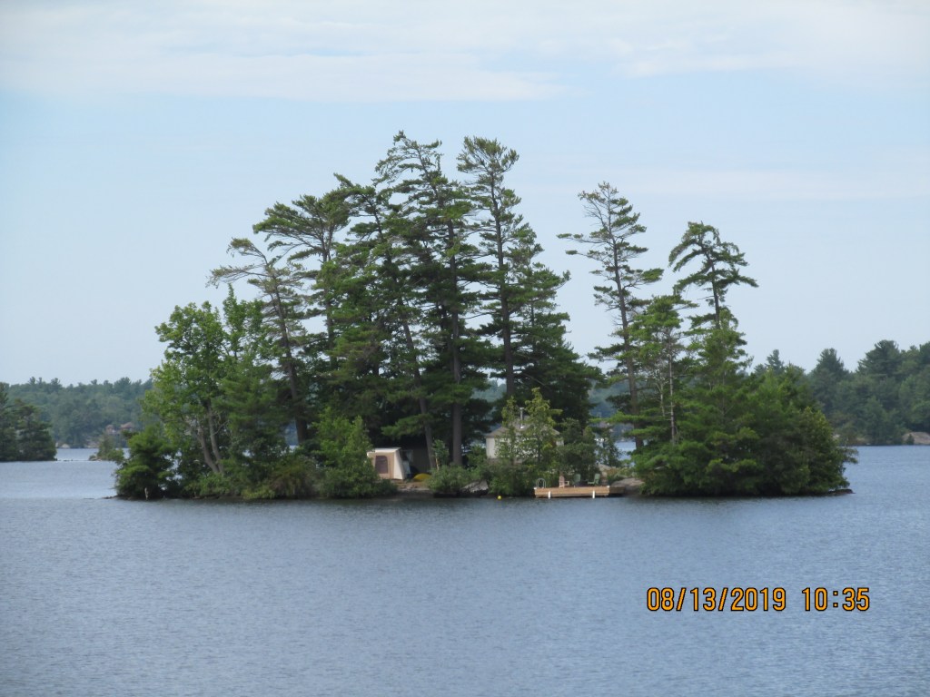
Entering the bay
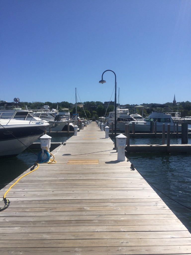
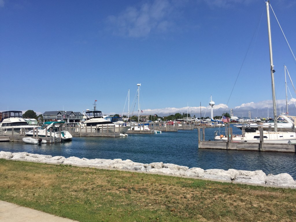
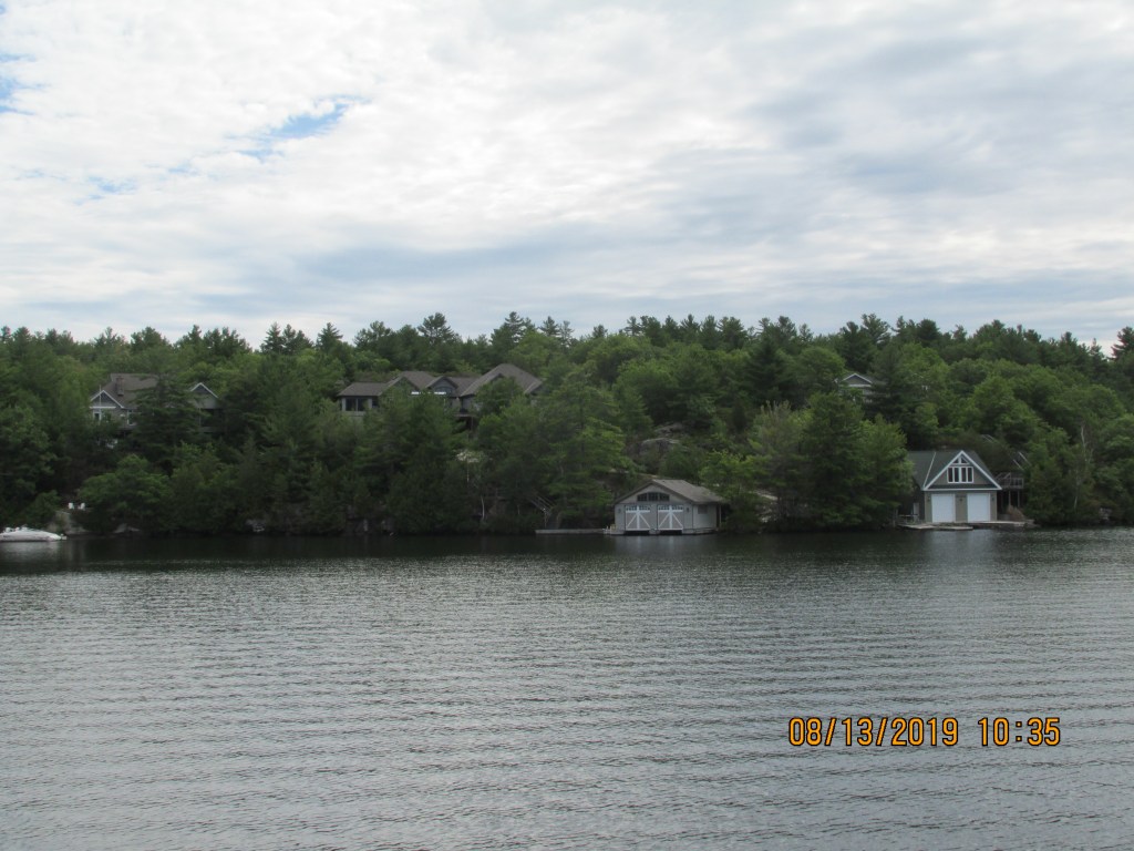
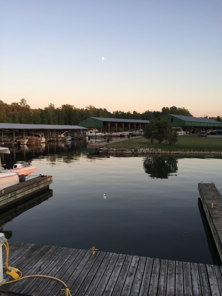
Petosky Marina
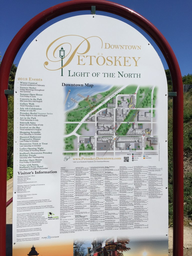
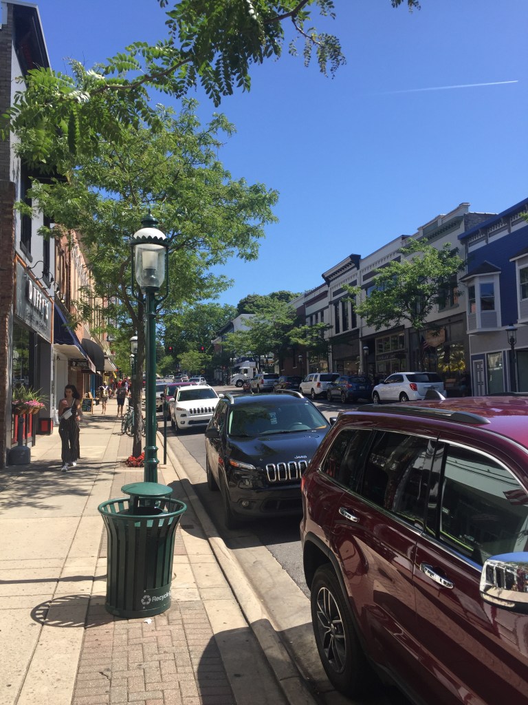
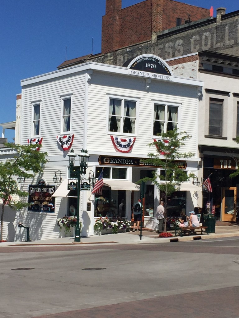
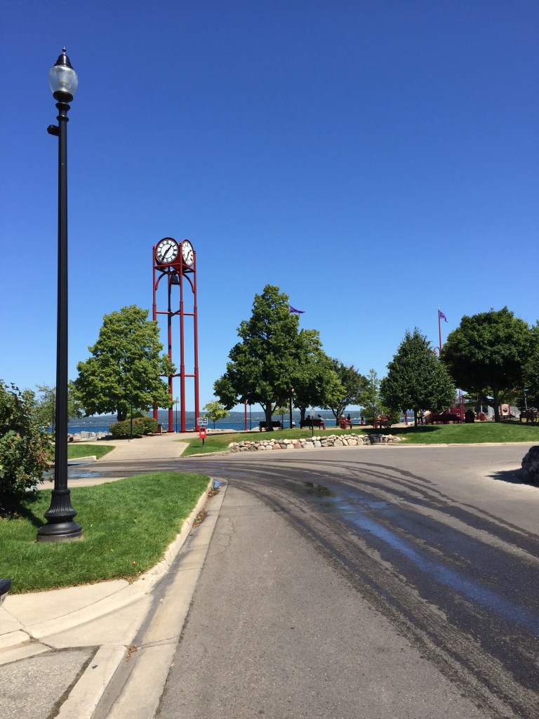
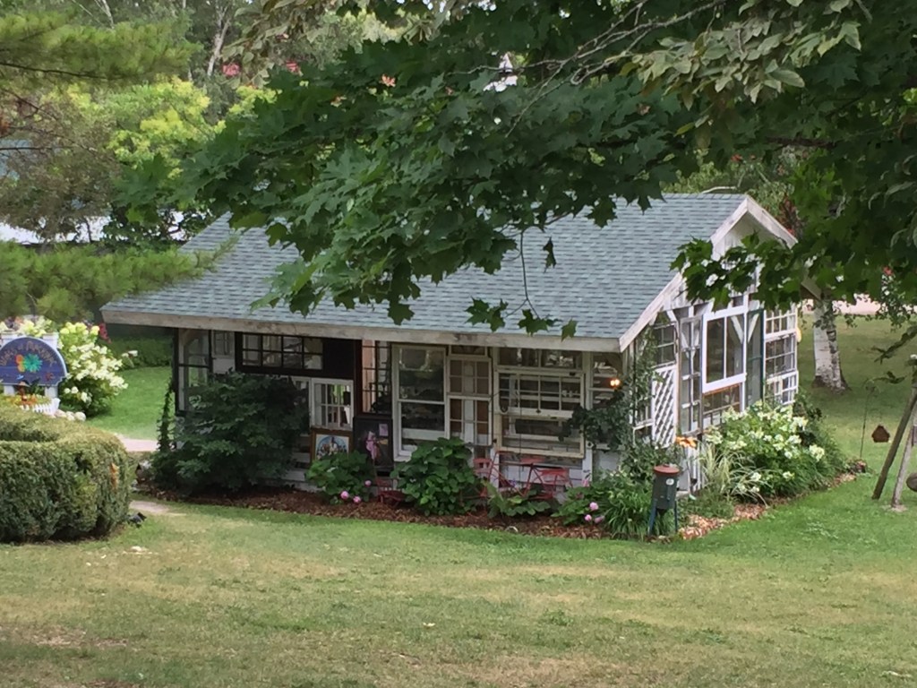
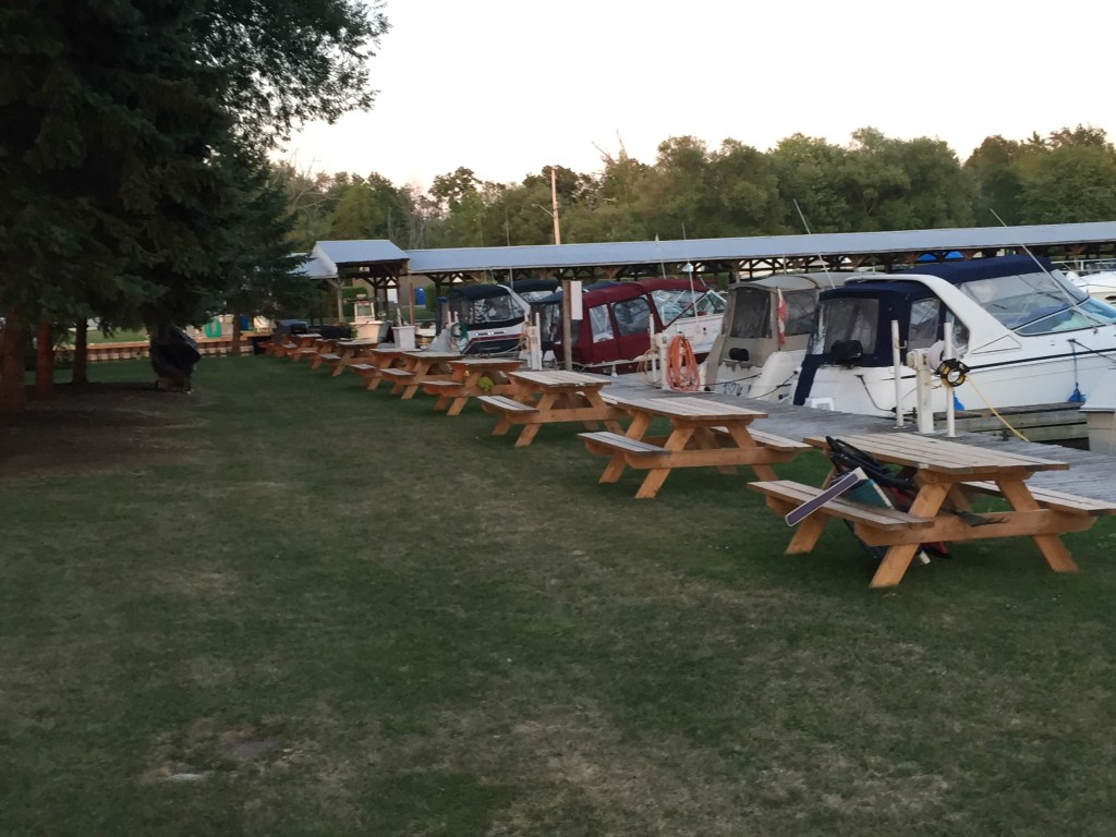
This was a great little town. We were docked by 12PM. We went up town to grab some lunch. We were also able to get our Canadian money exchanged for US.
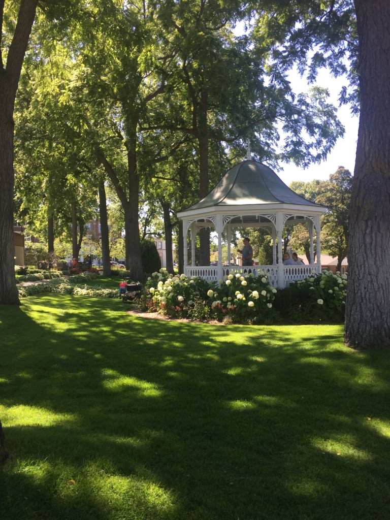
The marina has a nice park associated with it.
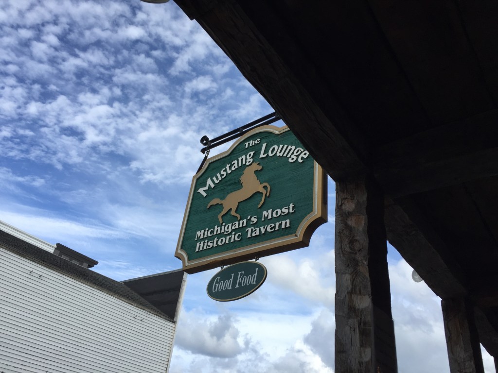
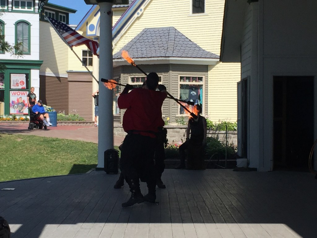
We even found a casino! They came and picked us up and then dropped us off at the marina later that night. It was a fun stop.
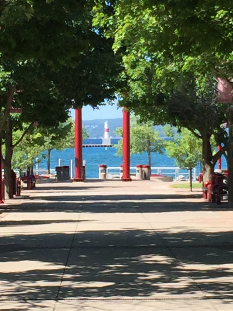
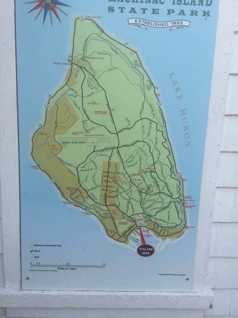
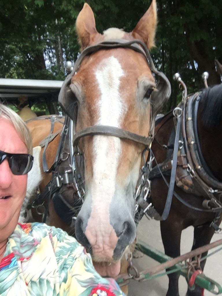
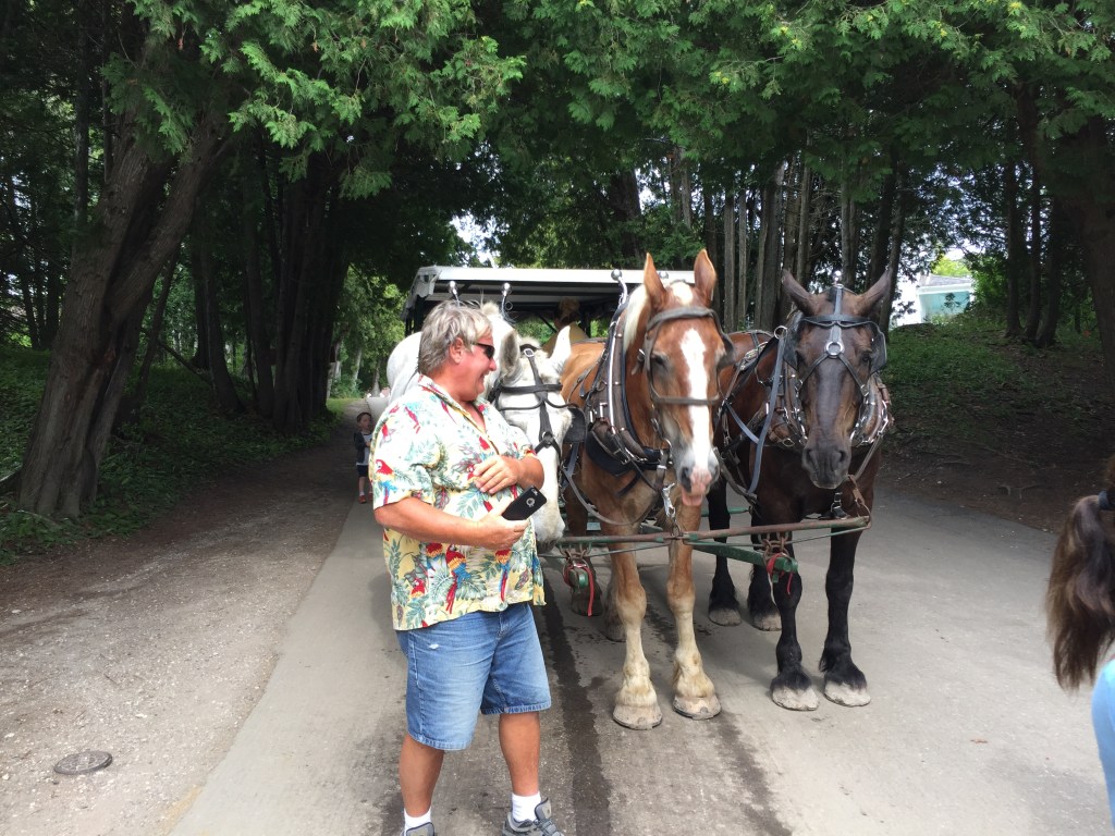
The next day we took a ferry over to Mackinaw Island.
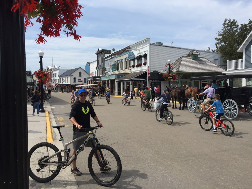
This island has no cars – you can rent a bike or a horse to get around.
Bikes and Horses
Could not get into this marina
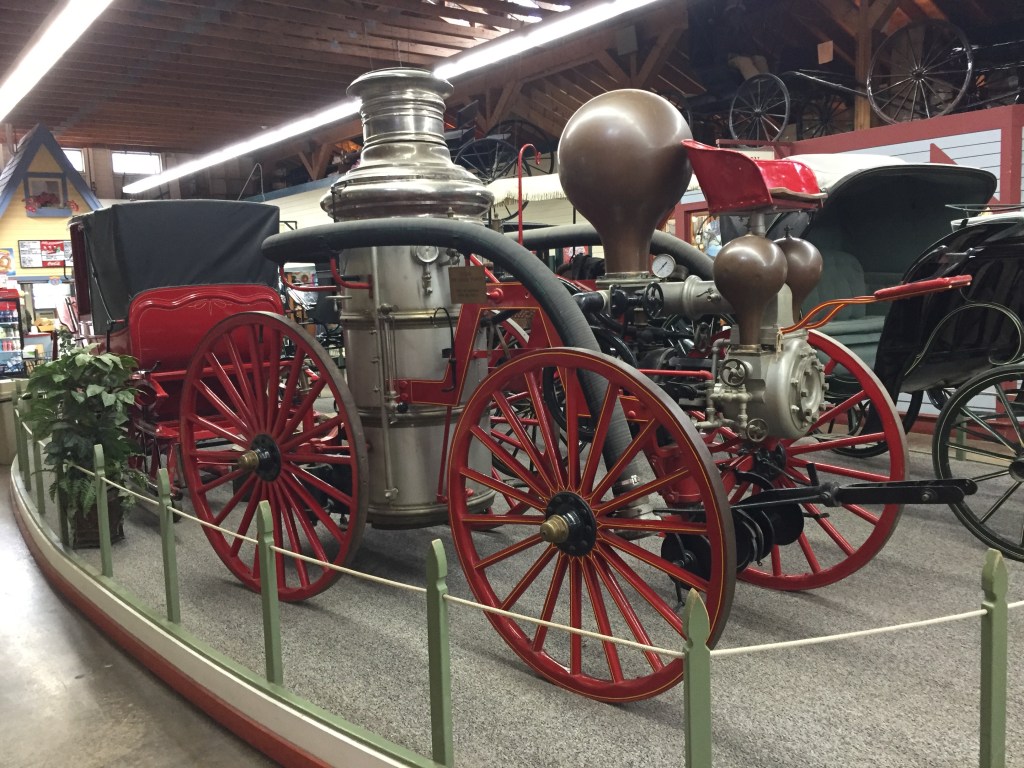
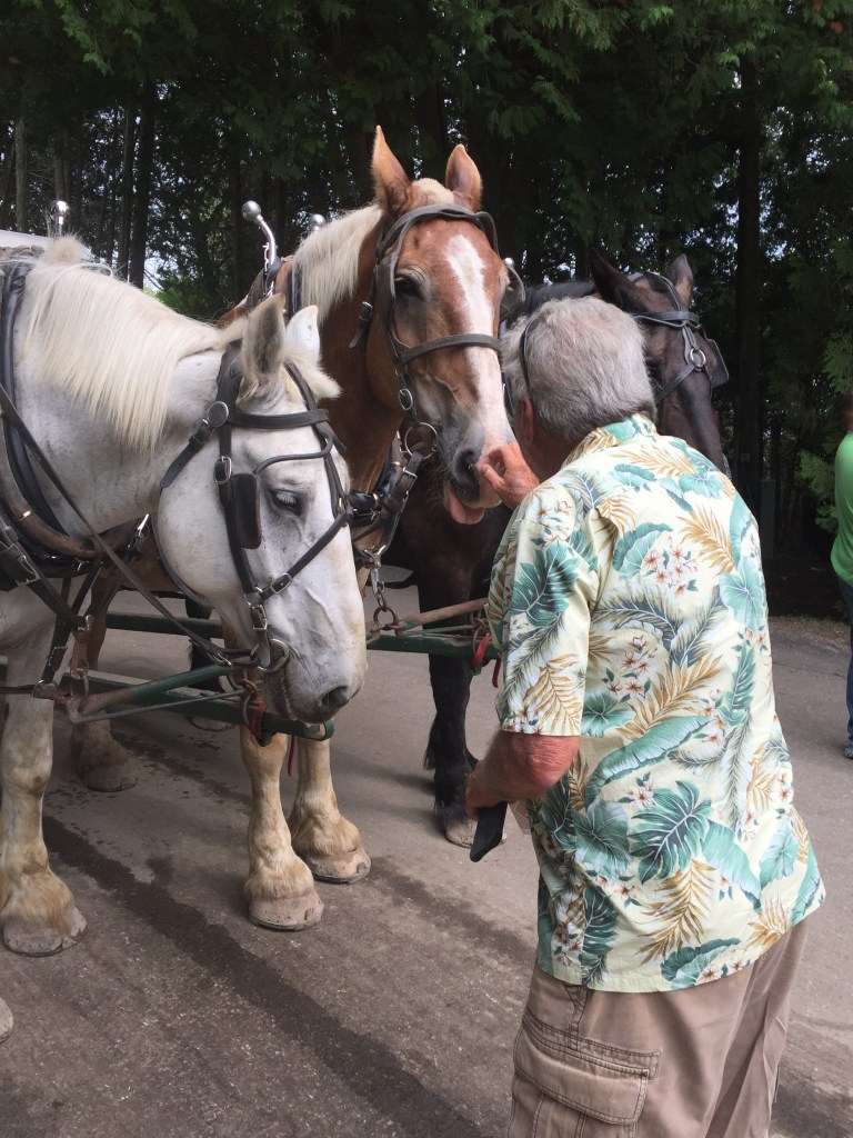
We chose to take a horse drawn tour around the Island. The tour took you through the town and up to the Grand Hotel ($350.00 per night – $10.00 just to walk the grounds) and to a small museum.
Grand Hotel
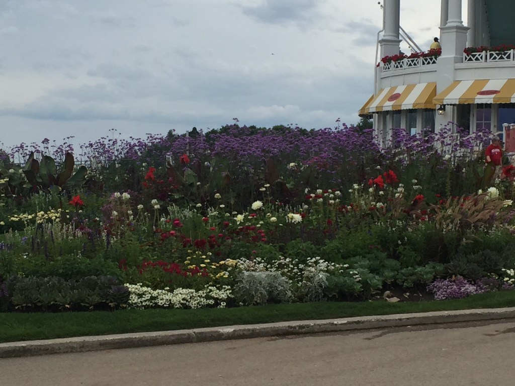
Beautiful Gardens
Cute Post Office
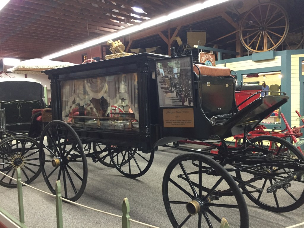
Still used for Funerals
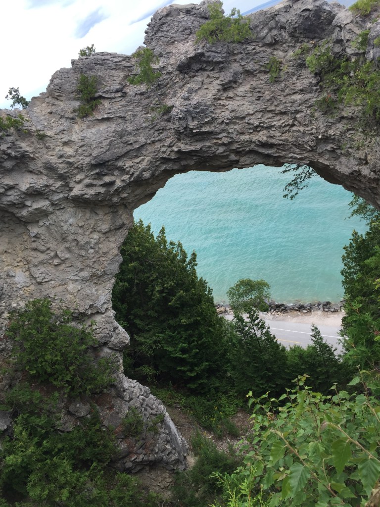
We changed buggies and were taken through the state park area to the Arch. It is a miniature of Natural Bridge in TN. We were told that it is made of limestone and is slowly eroding away.
Our Guide
Arch
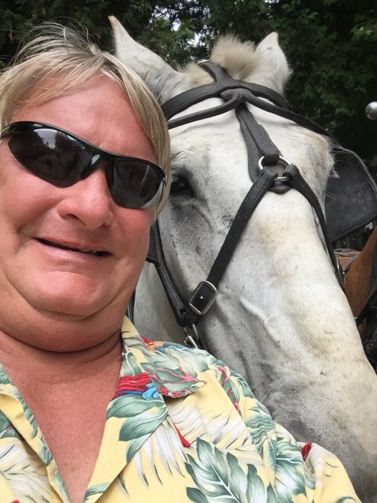
We had a chance to get to know the horses. After the tour we walked down a hill back to town.
New friend
Tough always hangs out
The shops on this island also were focused on tourists with many fudge/candy stores and T-shirt shops. Also, many restaurants and hotels. There are about 500 people that live on the island year-round.
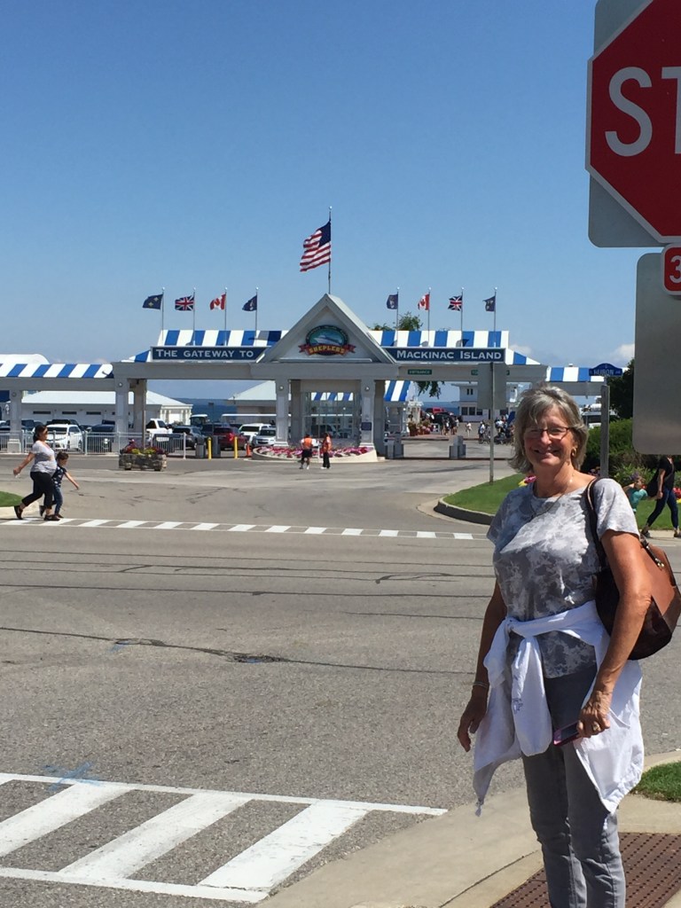
Getaweigh (Bubba and Anne) have been keeping the same schedule as us. We both decided to head to Mackinac City and spend an extra day so we could go see Mackinaw Island. It was as 52 mile run and we were all settled in our slips by 11:30AM.
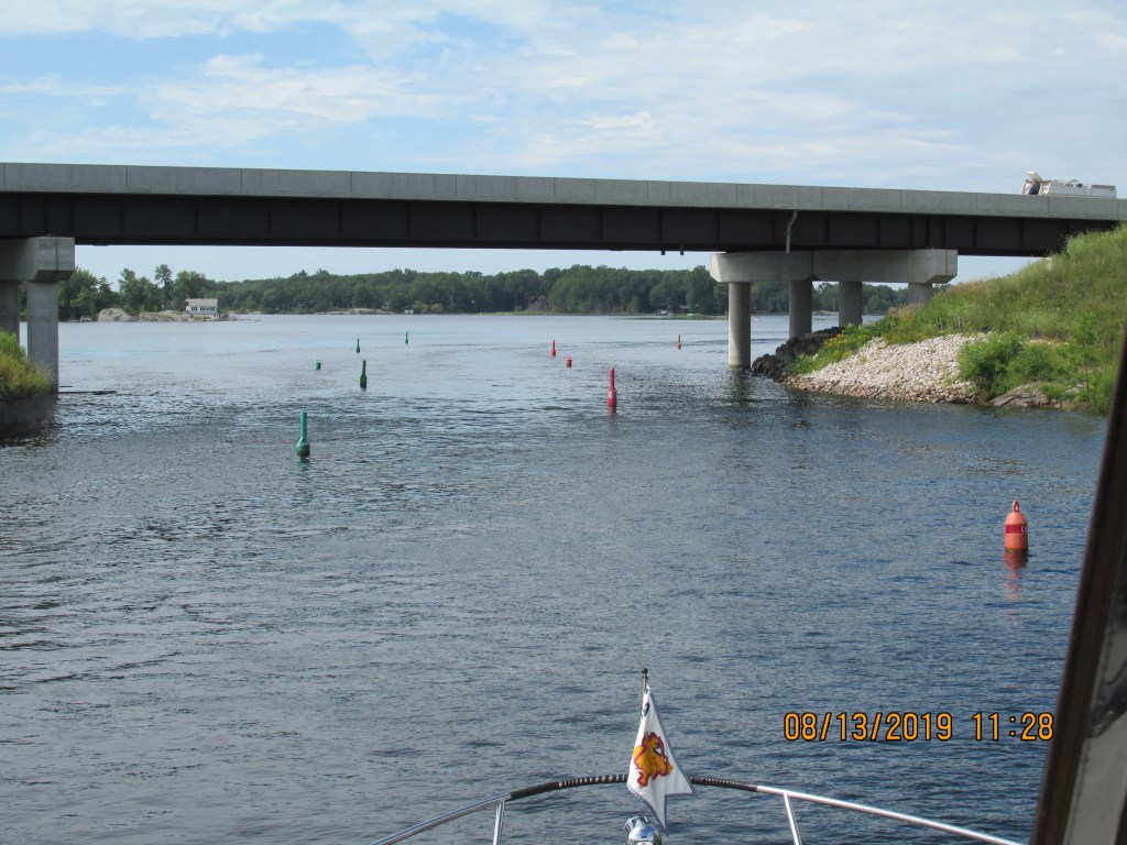
Here is where we are!
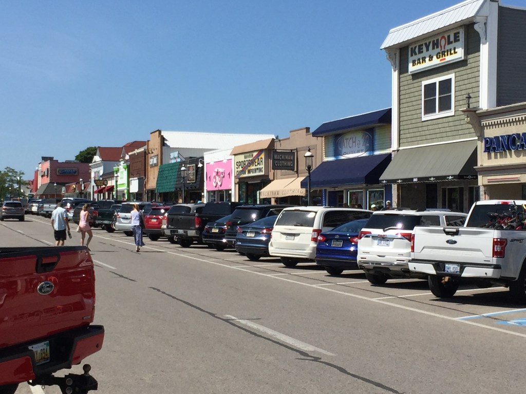
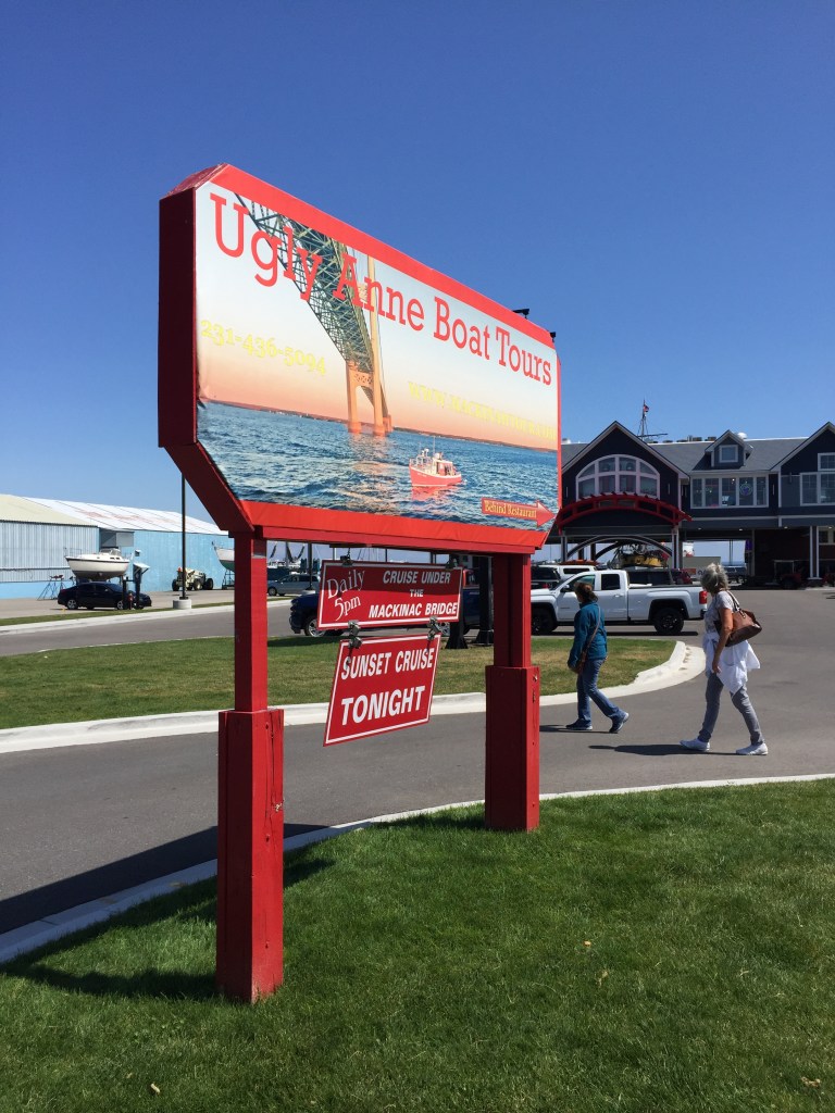
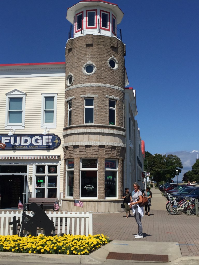
We walked around and got some lunch and then checked out a few of the shops. This city had candy/ice cream shops – T-shirt shops- candy/ice cream shops – T-shirt shops- candy/ice cream shops – T-shirt shops-etc.….
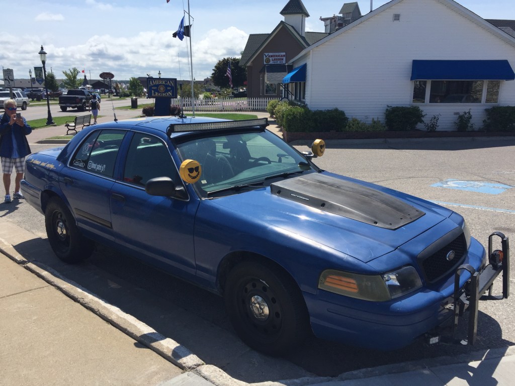
Saw a couple unusual things – a Donut Patrol car and there were mermaids that were wheeled in to sit in a fountain in the shopping square.
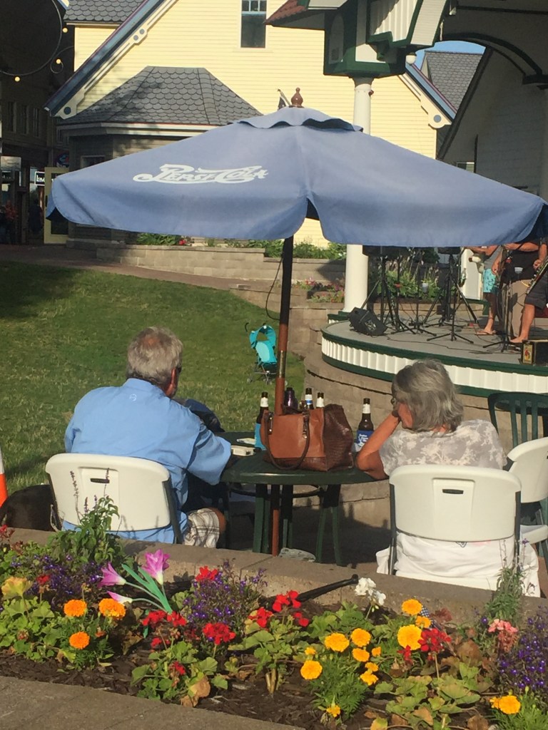
We found an outside bar and some entertainment in a courtyard area so we sat and enjoyed the music for a couple hours.
We took off at 6:15AM and enjoyed a beautiful sunrise. The waters were really quite and no waves. We had 85 miles to travel to Rogers City, MI.
Quite Morning
Lighthouse leaving Harbor
Smooth waters
We were the only ones making waves!
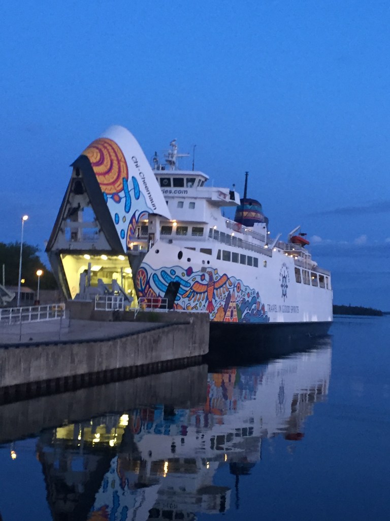
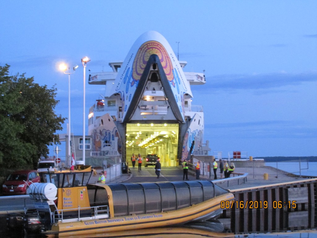
We saw a car ferry on the way out. It travels between the two ends of Georgian Bay near Lake Huron. They were loading cars and people as we left.
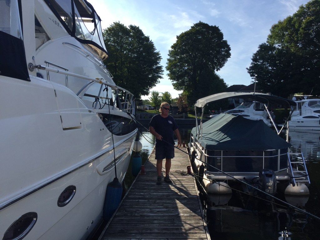
We reached the marina at about 1:00PM and re-fueled. We had to check in with USA customs before we could get off the boat. We did this via an App on the phone where we entered all our passport and boat information. We pressed the report entry button and then an officer called us back on video phone. He could see us be we could not see him. We were asked a number of questions and we also had to show our face and passport to the officer. Then we were approved to enter the USA. It was pretty easy. Bubba and Anne came in behind us and also checked in. We got the marina staff to take us to a small store to pick up a few food items. We checked out the pier that was around the marina.
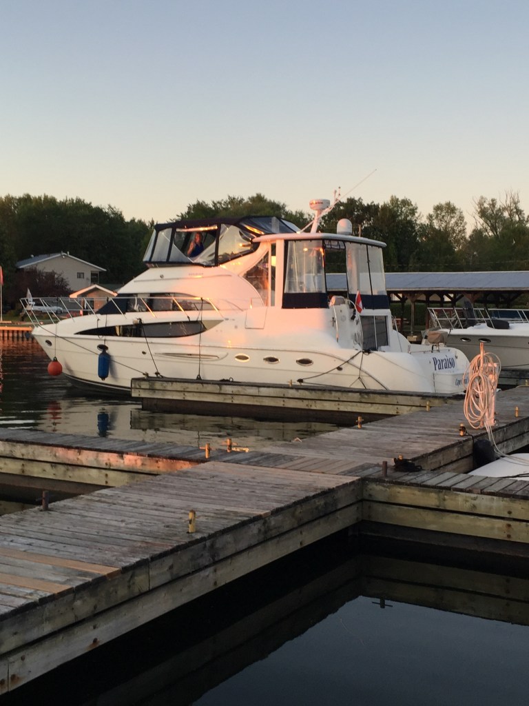
Paraiso protected
Back in the USA!
Anne – Dexter-Bubba
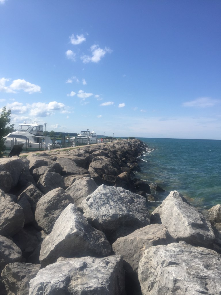
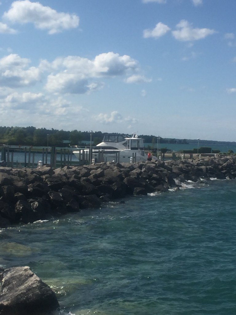
It was a nice marina with a boat ramp and a park located on it.
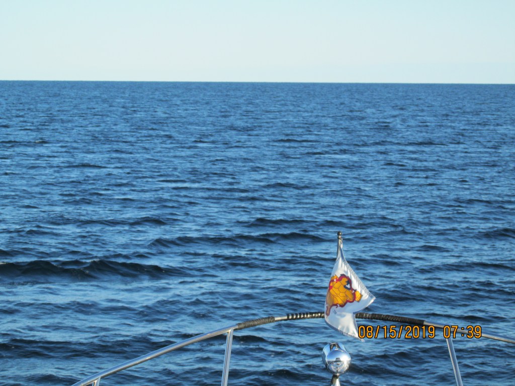
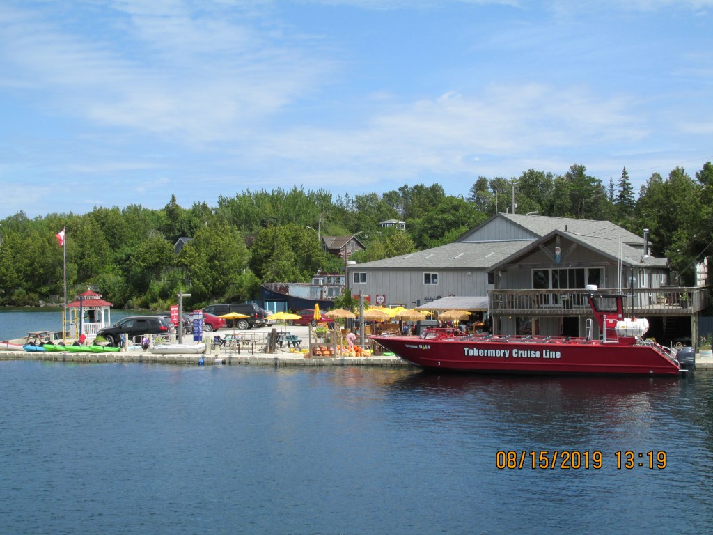
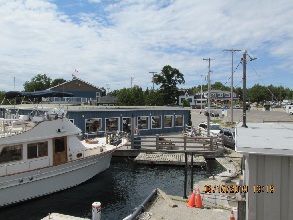
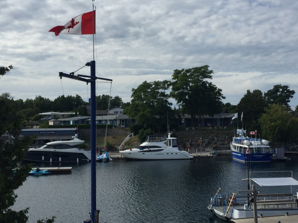
We discussed the different routes we could take to go across Georgian Bay. From a time perspective, we felt that we could not follow the “Small Craft” Channel that takes you on the north side of the bay. We decided the best thing for us to do this trip was to cross the bay to Tobermory, ON. This would be a 90 mile trip across. Chris and I started out at 6AM so we could catch quite water first thing in the morning. We reached Tobermory at 1:30PM and refueled the boat. Then they put us on a wall that was basically downtown. We became an attraction. We felt a bit like animals in a zoo. Chris could not get back on our boat for a few minutes because people kept taking photos of themselves with our boat!
Sunrise
Georgian Bay
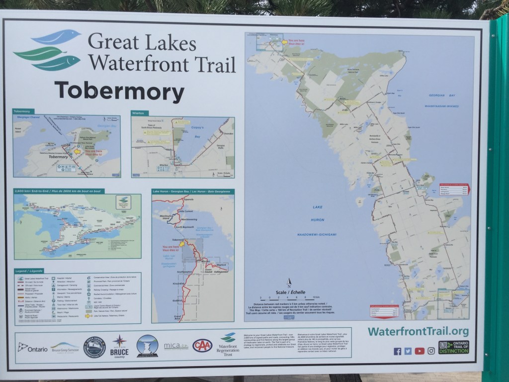
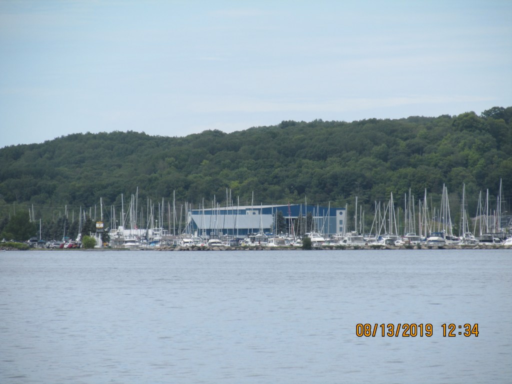
Tobermory
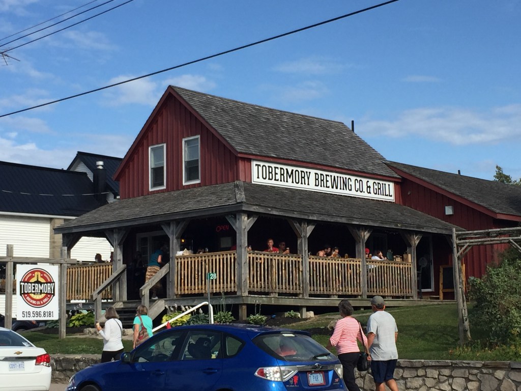
The town is small and very focused on tourists. Many clothing stores and gift shops. We found
out that in the winter the place shuts down and only the grocery store, one
hotel and the library remain open.
Bubba and Anne backing in
Here we are on display
Local pass time!
We checked the weather and Lake Huron was going to be basically flat the
next day. So, we decided to make a
crossing back into the USA. We will
have to come back and explore the Georgian Bay area again when we have a full
summer to do so.
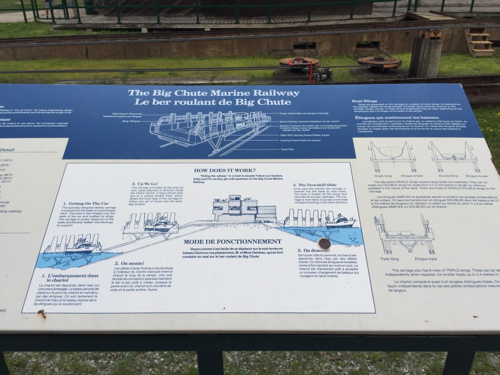
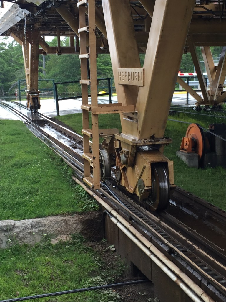
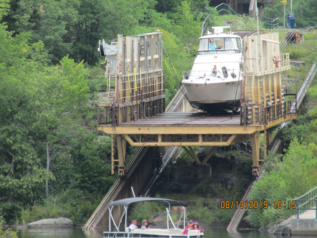
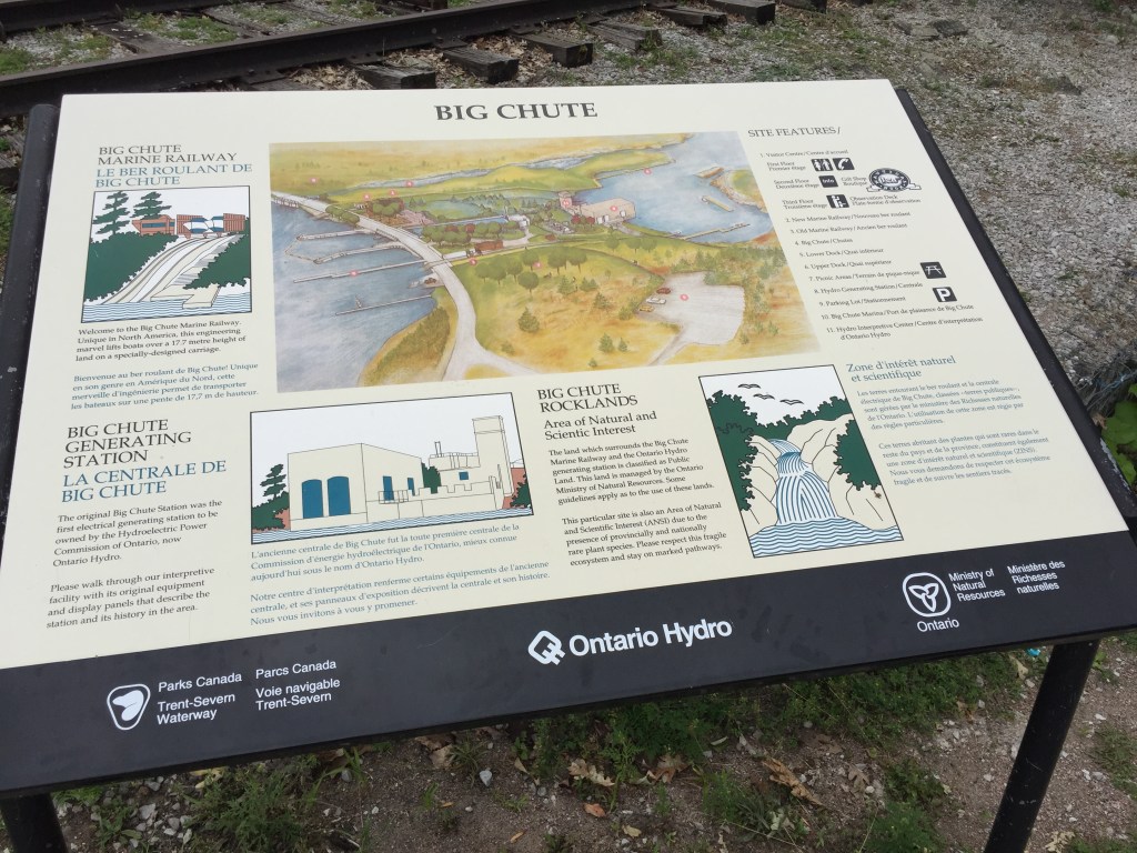
The vessels are floated into
the cradle, which is approximately 80 feet (24 m) long by 26 feet
(7.9 m) wide. Four 200 horsepower (150 kW) electric motors provide
traction by cable. It can transport up to a combined total of 100 short tons (91 t) in weight.[1] In this enlarged version the increased weight is borne
on a dual track which keeps the carriage level (the front and back wheels are
on different tracks, with the front of the carriage on the upper tracks. The
carriage is kept horizontal due to the relative profile of the tracks. Toward
the end of travel, the carriage assumes a slight “nose down” attitude
as it submerges into the water. Boats rest on the bottom of the carriage, and
webbing slings are provided to support boats safely and prevent them from
tipping. The old system has been decommissioned by Parks Canada, to conform with modern safety standards, although the old
tracks and carriage still remain. The last operation of the old system was in
2003.
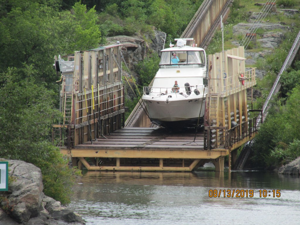
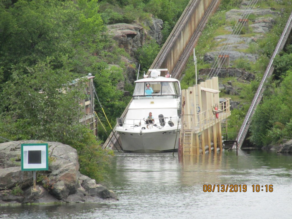
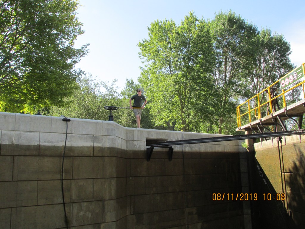
We awoke fresh to start the day. There were 4 boats already waiting to go through the “Big Chute” so we pushed off at about 9:45 AM to head to the blue line and await to be called by the lock master. We floated onto the platform and they pulled straps up to support the boat. Our running gear hung out over the back of the platform. It was a bit funny, as we noticed that they had a small notebook with all types of boats in it that had hand written information about where to place the straps for each boat model. We were the only boat on the lift. Then it started to up the railway and over land. Janis sat out on the front of the boat to see the trip first hand. Pretty cool. It was not a scary as you would think. We were placed into the water again and they told us when to start the engines and motor out from the platform.
Waiting to be called to lock
Lining up
Here we go!
Up Up and Away
Going down the otherside
Once out, we waited for Getaweigh to come through and took photos of Bubba and Anne. This is what we would have looked like.
After this we headed to our last lock of the Trent-Servern Waterway – Lock #45. As we followed the waterway, we saw many nice cottages and houses on the rock islands. There were a few narrow areas where we had to dodge a rock that was submerged.
It’s a Yurt
Don’t hit this!
We also saw a place that looked like a plastic zoo!
Plastic Zoo!
Lock #45 was not very long and both Getaweigh and Paraiso could not fit into it together. We went first and then headed through some narrows into more open water. It was a relief to be in more than 10 ft of water for a change.
Lock #45
Stay in this Channel!
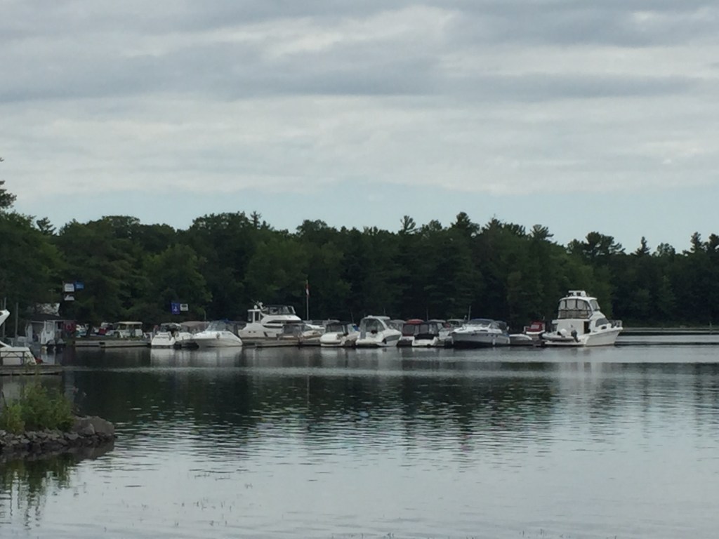
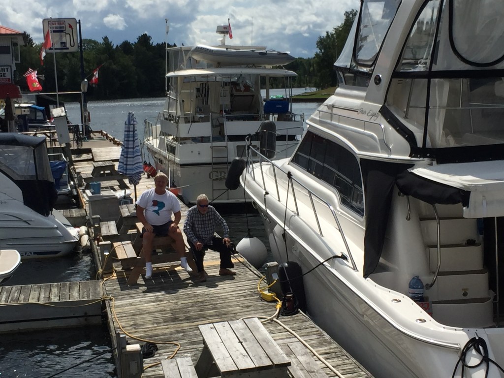
We stayed in Midland, ON at Bay Port Yacht Center. This was a large marina that was full service. We celebrated our successful goal of completing the Trent-Servern with Bubba and Anne.
“Minion”
Clean and ready for Georgian Bay
We decided to spend the next day at the marina to clean up our boats and prepare for the Georgian Bay Crossing.
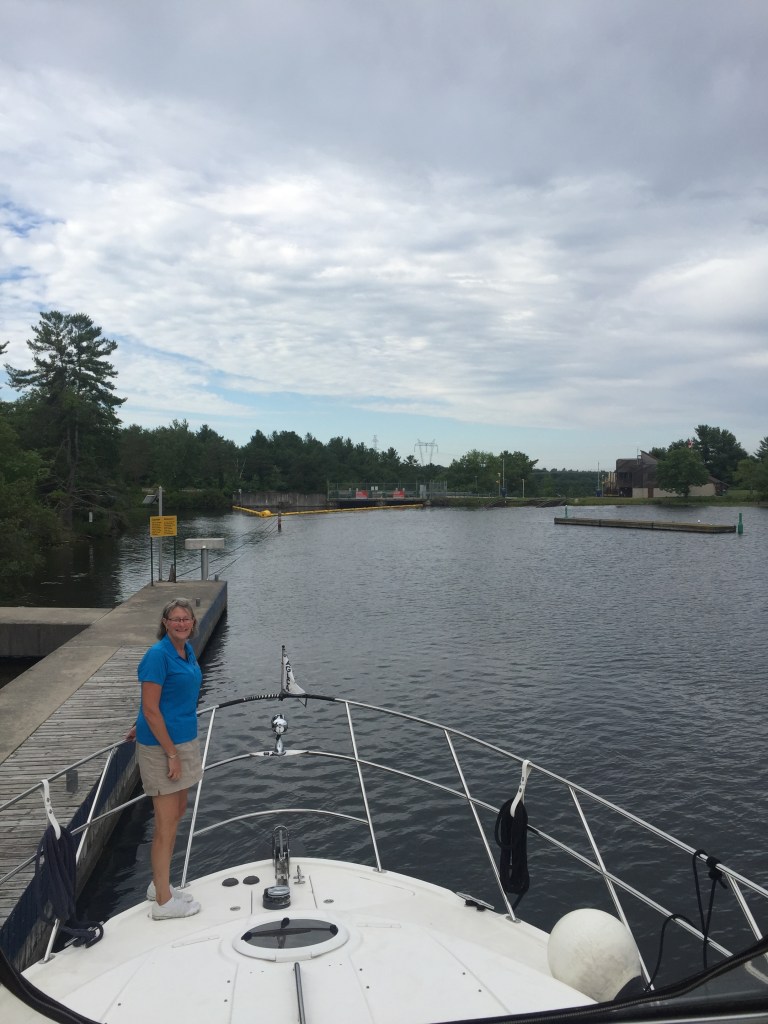
We headed out for an easy ride to lock #44 – The Big Chute. We plan on staying at a marina right before the lock and watch how it works before we go over it.
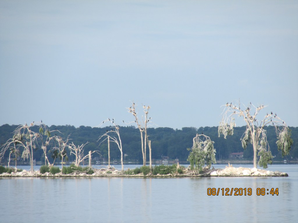
As we left the marina we noticed this white island. Upon closer observation we decided it was a bird nesting site and the white was bird droppings. They will nest here until they kill the trees then move on to another location.
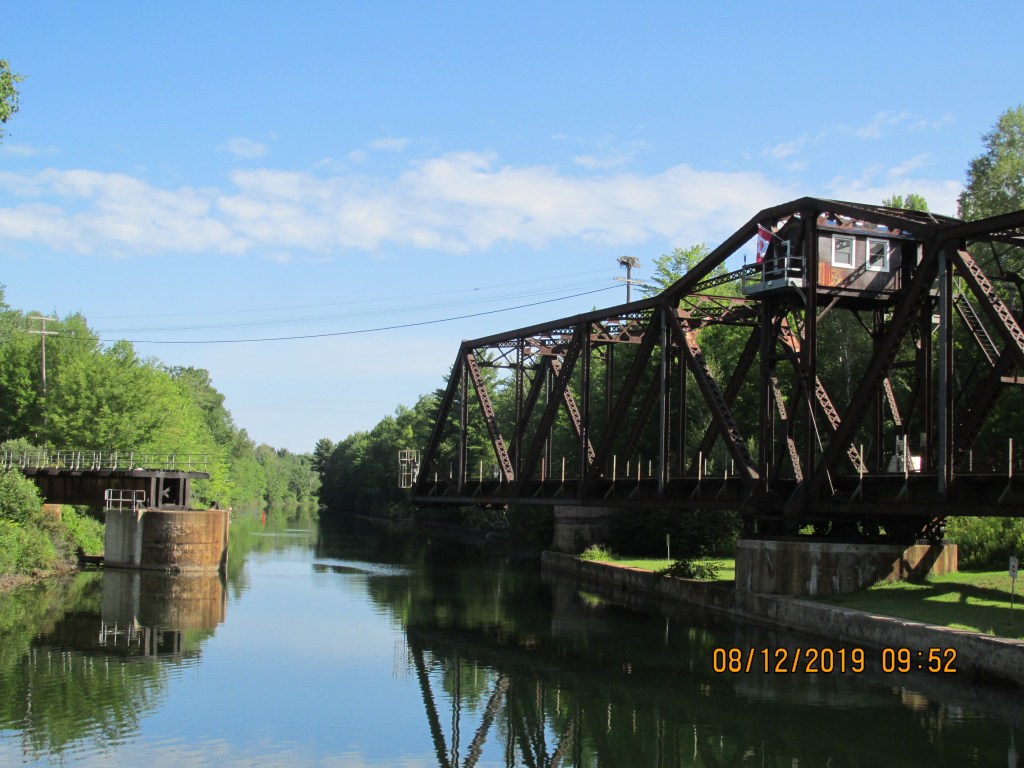
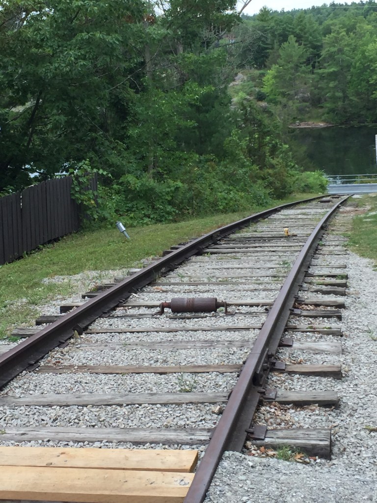
Our first obstacle to pass was not a lock but a railroad swing bridge. We had heard that you do not want to upset the bridge master or he will let you sit there for awhile. The rule was that if there was a train coming in the next 30 minutes that the bridge would not open. When we got there we found the bridge closed so we waited and soon we heard a train whistle. After the 15 minute long train passed then the bridge master walked out and climbed up the stairs to the control room. This bridge is old. We could see why they would not open the bridge unless they had more than 30 minutes to do so. It took a few minutes then we heard the engine fire up. It sounded like an old coal engine. The bridge opened and we were through in about 40 minutes.
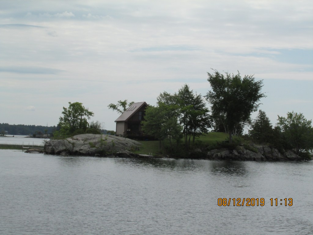
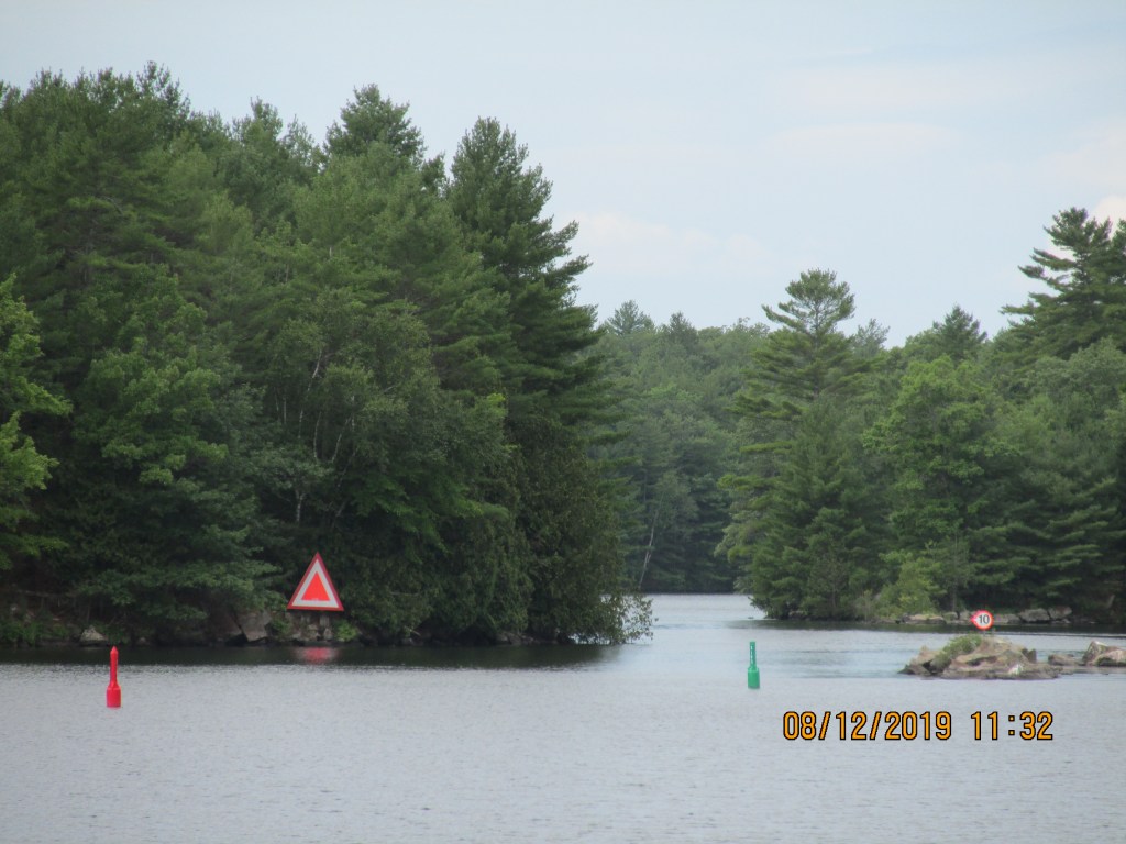
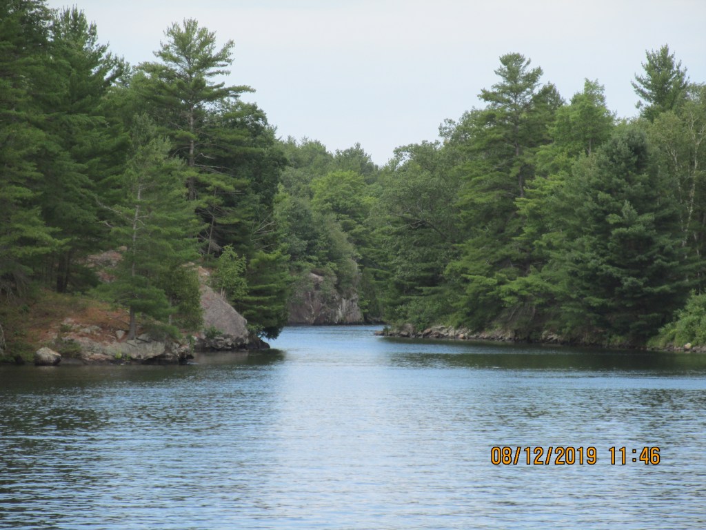
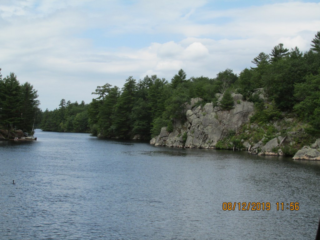
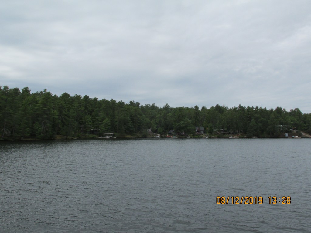
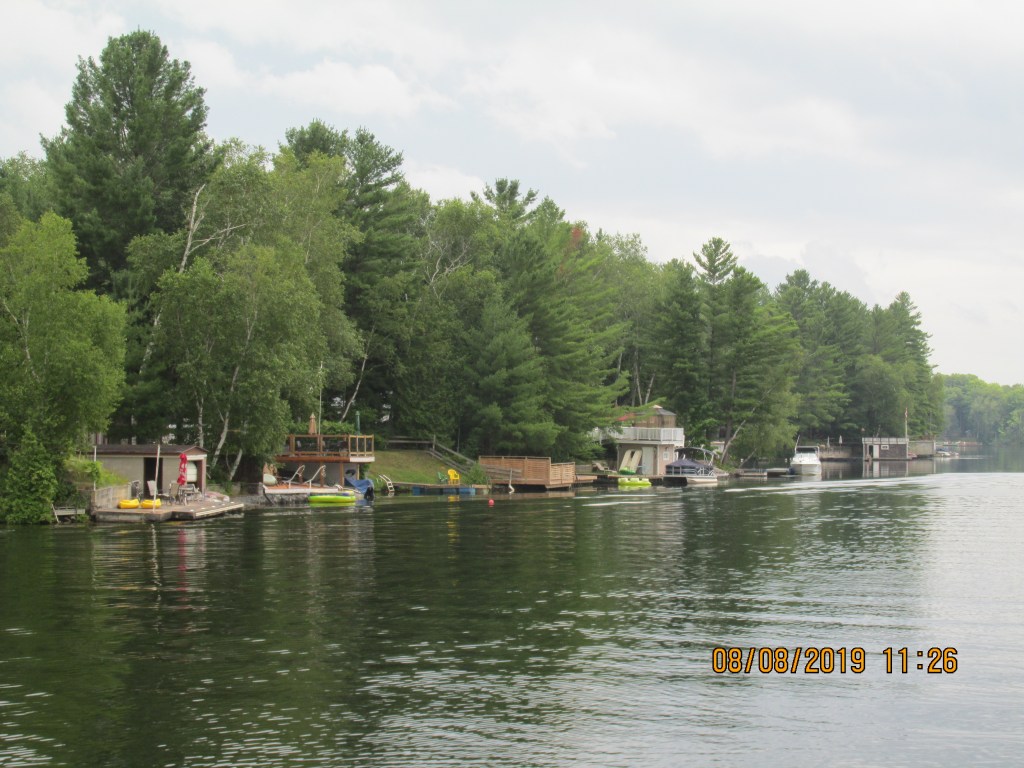
The area we cruised through was nice and green with pine trees. There were many cottages and everyone had docks and boats. Glad it was a Monday so we did not have as much traffic. There were a few narrow areas that we had to take care passing through. We were in the Severn River so the water was deeper here, but you still had to watch out for rocks.
House on a rock
This one looks like our house
Narrow waterway
Worked around this rock
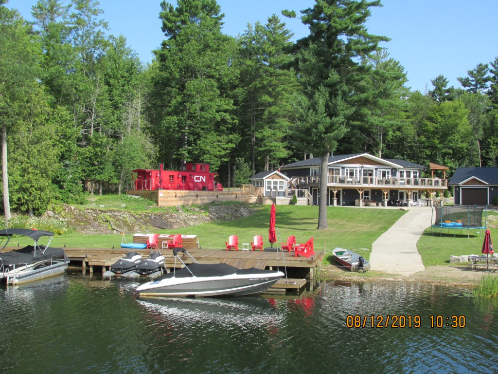
Has a caboose in their yard
Nice cottages
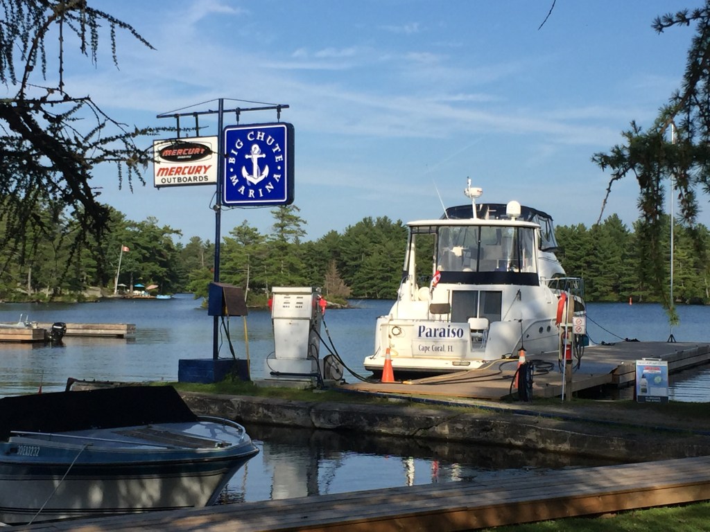
We pulled into the Big Chute Marina to spend the night and to check out the Lock and how it works. We watched a few boats make their way across the lock.
After waiting two and a half days for the winds to die down, we headed out first thing (at 9AM cause that is when the locks open). We had to go through 4 locks and Lake Simcoe. The wind would be 13 mph but was suppose to slow down during the afternoon.
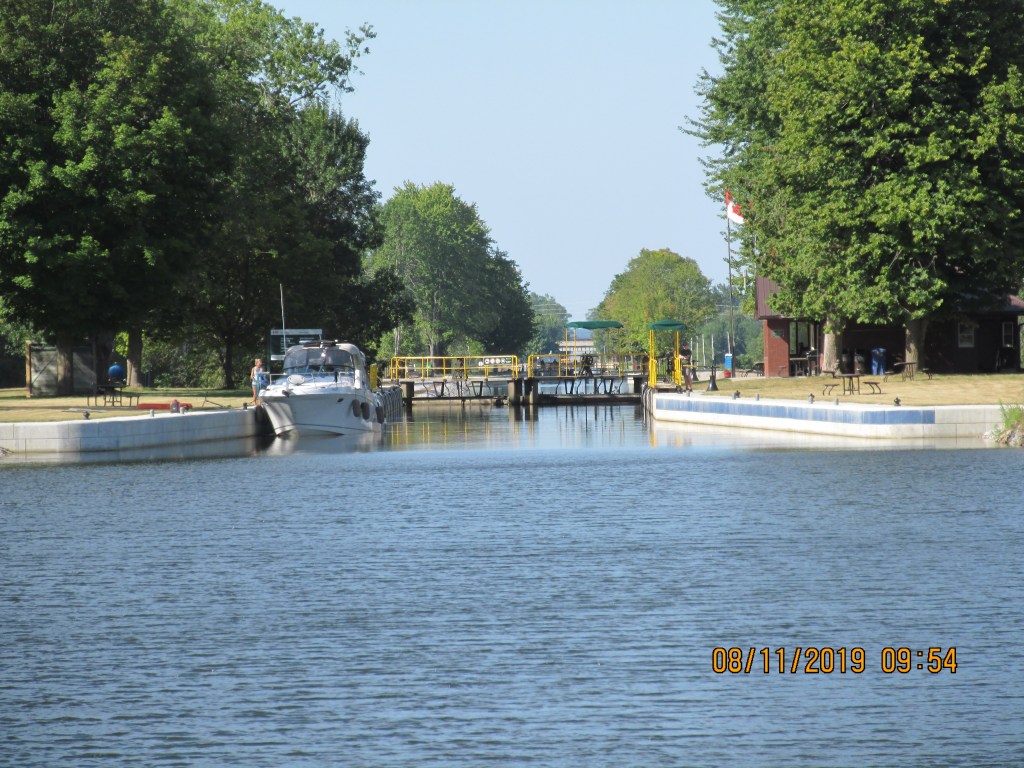
The locks were a bit easier because we are going down now. The lock staff
help you get your rope around a cable and then down you go. These locks were
all manual, but each one was ready for us so it only took us 2 hours to get
through all 4 within the 6 miles we traveled.
Ready to enter
Letting the water out
Going Down!
Opening the lock door
Ready to exit
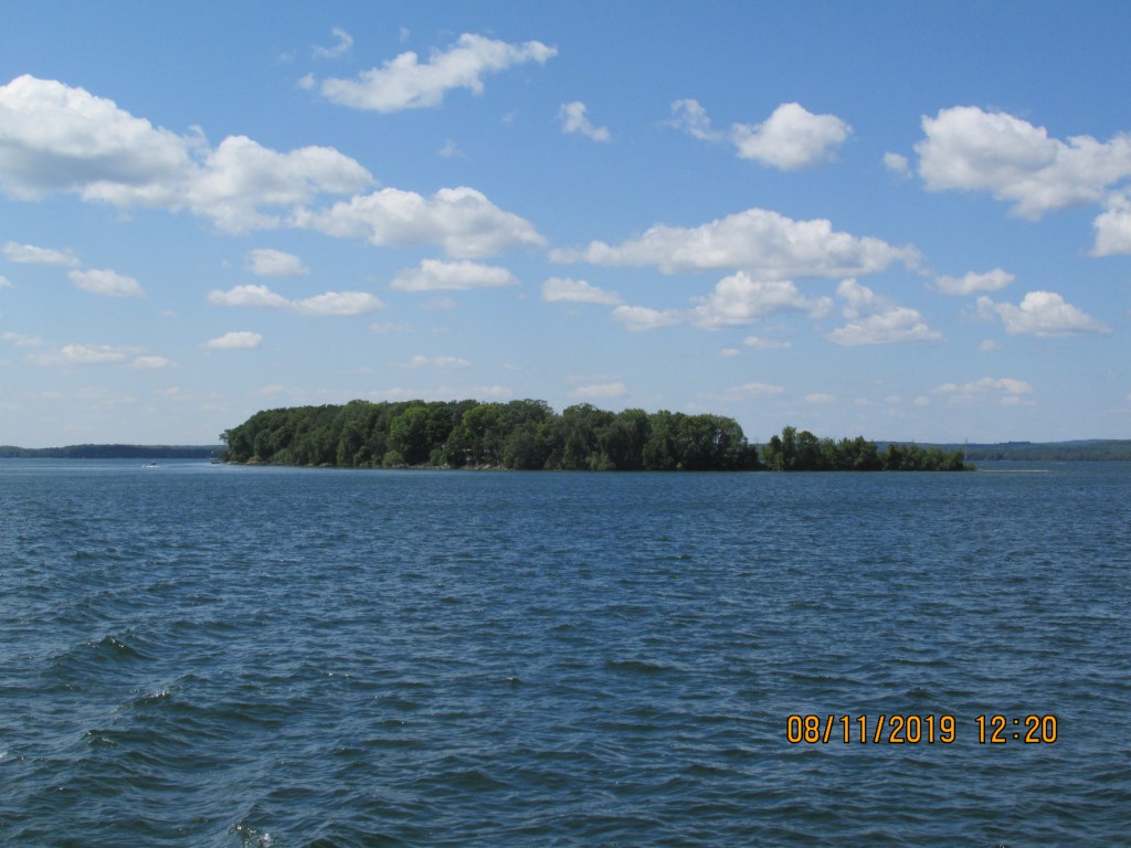
Lake Simcoe is a larger lake and had water in it (24-43 feet!) This was relaxing since we did not worry about hitting bottom. Nice change of pace!
Spray from a wave
Pretty Lake
Getaweigh passing us!
However, as soon as we entered the river on the other side – the depths went down to 4 feet again – we had to go slow so we would not hit anything hard. It was busy with boats also.
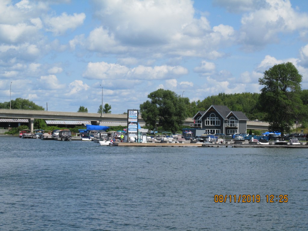
We stayed at Ojibway Bay Marina which is on the Indian Reservation. It was a beautiful marina with good electric,
water and Wifi. We took a cab to the nearby Casino Rama and had dinner and
gambled a bit. Chris came out a
winner! We saw a beautiful sunset as we
returned to the boat.
We have 4 locks to go through and then Lake Simcoe which can get a bit wavy if it is windy. The weather indicated that we would have 25mph winds. We decided to stay at Sunset Cove for another two days. This is a rustic marina but they have electric and water. It is in a nice canal community with pretty nice houses.
Sunset Cove Marina
The winds did kick up during the afternoons and our boat began to stress the dock we were on. One metal frame piece broke. We re-tied our boat to relieve the pressure and kept an eye on things until the winds died down in the evening.